Big data details urban coasts
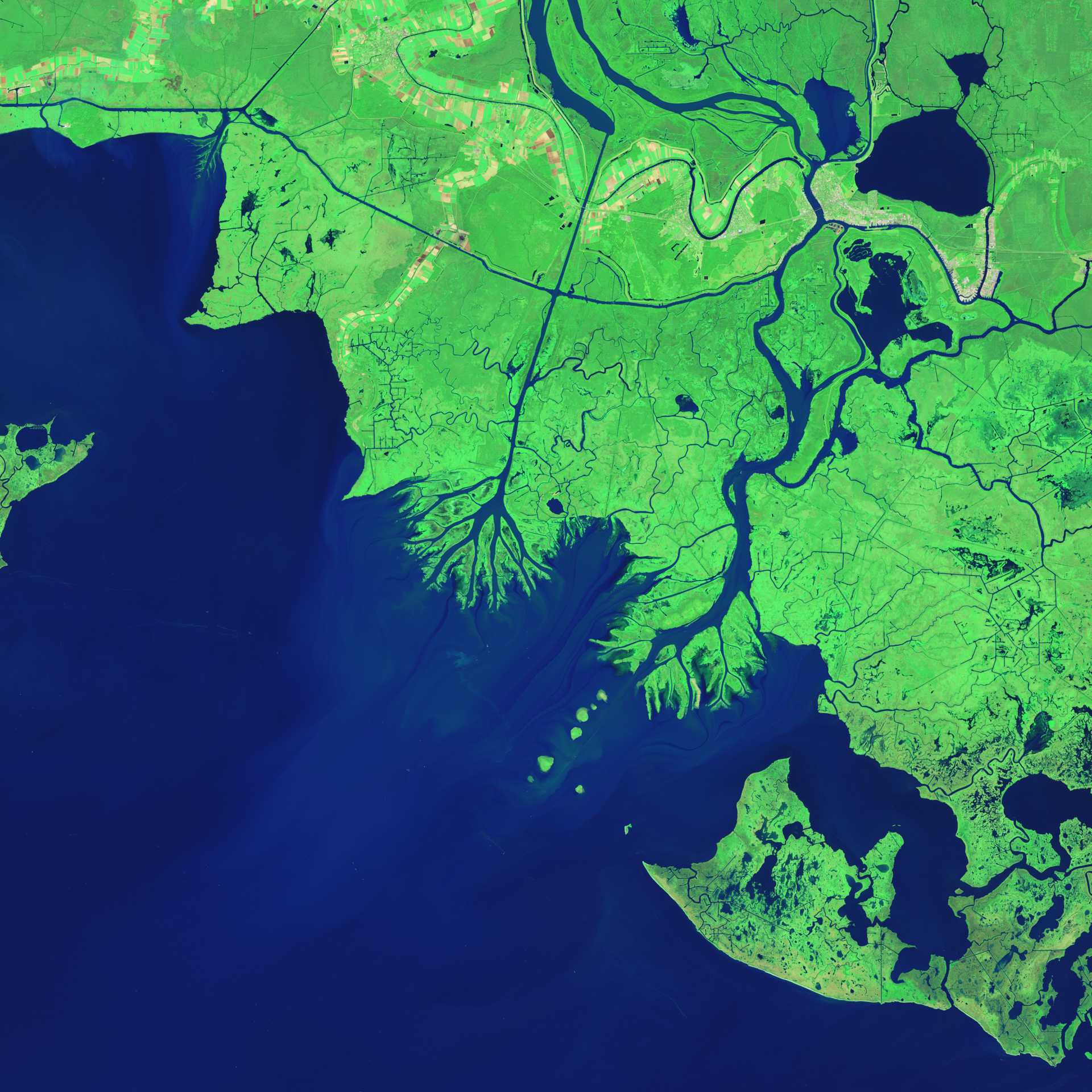
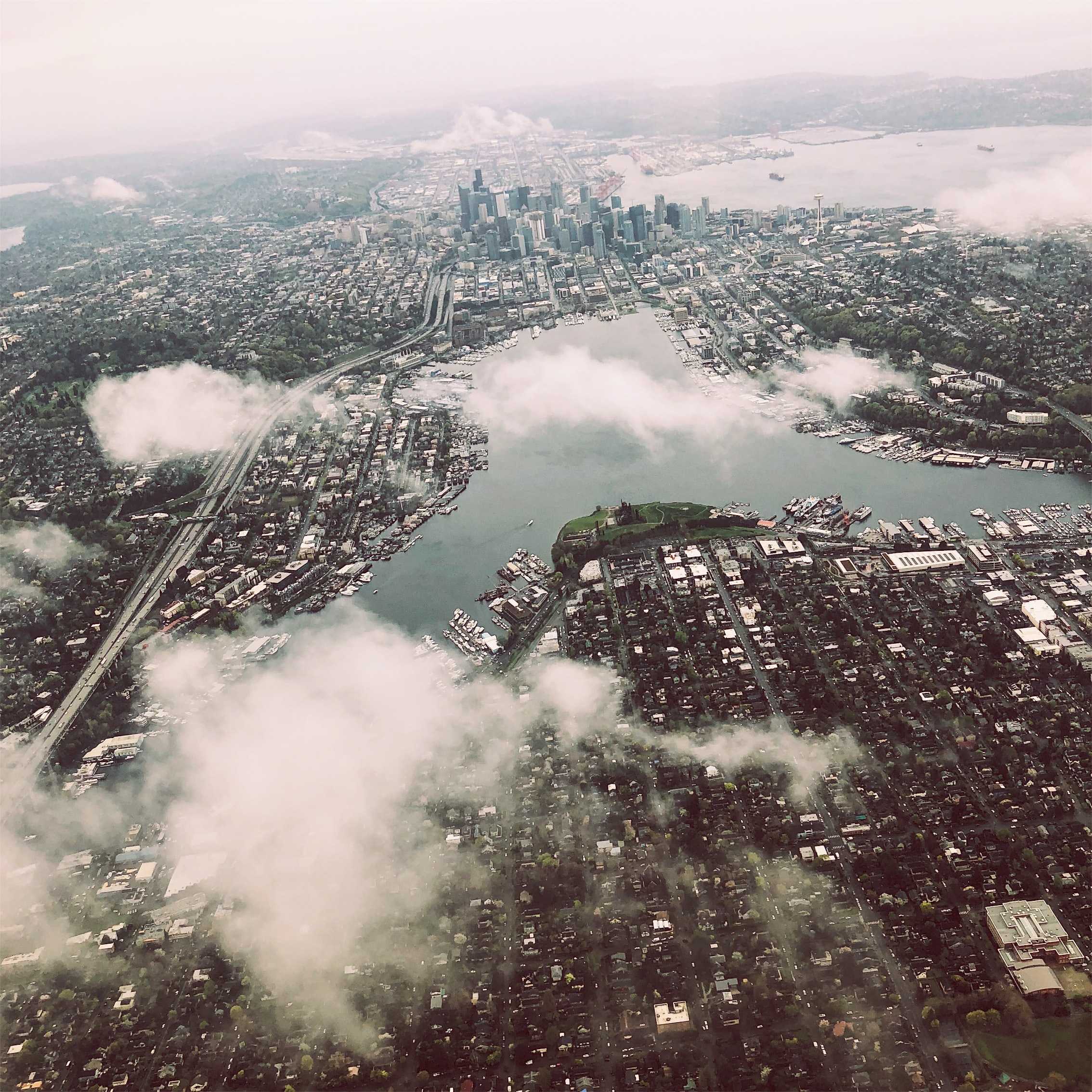
The oceans represent humanity's next big mapping challenge. In 2017, the World Economic Forum noted that Unmanned maritime systems, remote sensing, and other techniques are all rapidly filling this gap. "[W]e have collected more data on our oceans in the past two years than in the history of the planet," the authors observe. This data is vital for cities, where coasts once used for shipping and fishing are being rapidly built up. "Coastal areas are urbanizing at unprecedented rates, particularly in low- and middle-income countries". These settlements are among the most vulnerable to climate change.
As ocean mapping expands, these efforts will link up understanding of land-based activities and their impacts on oceans (e.g. nitrate runoff from agriculture and algae blooms). This points towards a future where integrated real-time data sets allow for comprehensive tracking and predictive modeling of physical, chemical, and biological processes in littoral zones, with implications for how cities manage land, food, water, and public health.


..png)
