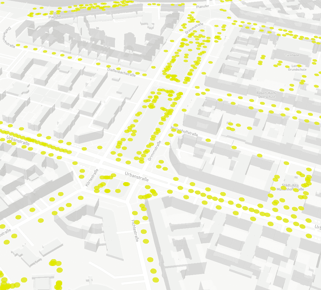
Crowdsourcing tree care with open city data
In 2020, CityLAB Berlin initiated a crowdsourcing project to track watering of urban trees. The platform is operated based on open data for streets and weather forecast combined with Berlin city administration's records of street trees and water pumps in the public realm. The initiative raises awareness for citizens with an interactive online platform, allowing people to register, "adopt" a tree, water it and update its watering meter that indicates watering levels from low (red/orange) to high (green). The map lists a total of 625,000 Berlin street and plant trees.
This rather basic tool demonstrates the low barrier for cities mobilize citizens to maintain and care for their green infrastructure, as climate change causes increased dry periods in urban areas. It points towards an evolution in how open data can be used to mobilize and coordinate citizen action rather than simply inform.


..png)
