FixMyCity
Public maps for co-production of bike infrastructure
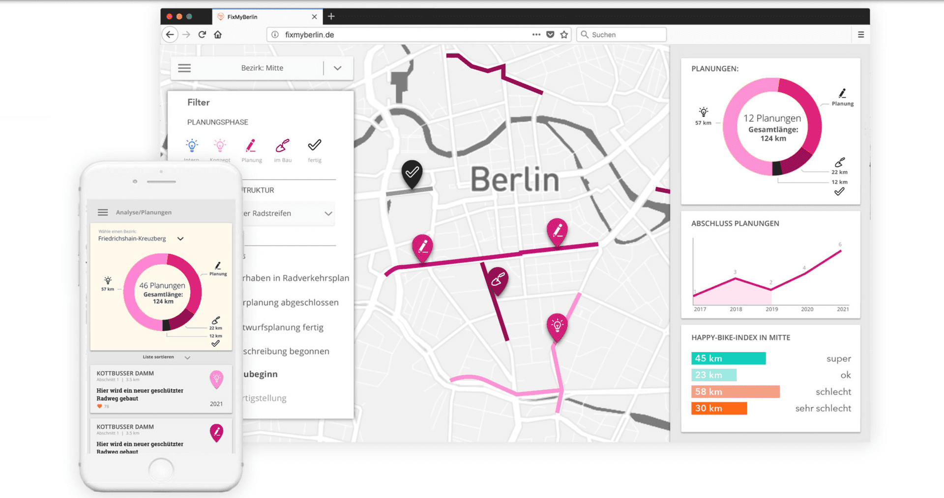
Planning and construction of roads and cycling infrastructure are viewed as long, non-transparent processes. The FixMyBerlin project improves communication between municipalities and citizens through an online map that unifies data on cycling, and communicates the city's plans. The aim of the project was to improve acceptance for planning projects as well as the quality and speed of their implementation. Today the initiative offers its service under the name FixMyCity to other cities in Germany, making planning processes and public engagement more transparent.
This points towards a future where data-driven advocacy platforms drive rapid policy and planning changes in cities around shared values.
Source: fixmycity.webflow.io
Sector
Civic Solutions
Mobility
Tags
digital infrastructure
streets
planning
berlin
recycling


..png)
