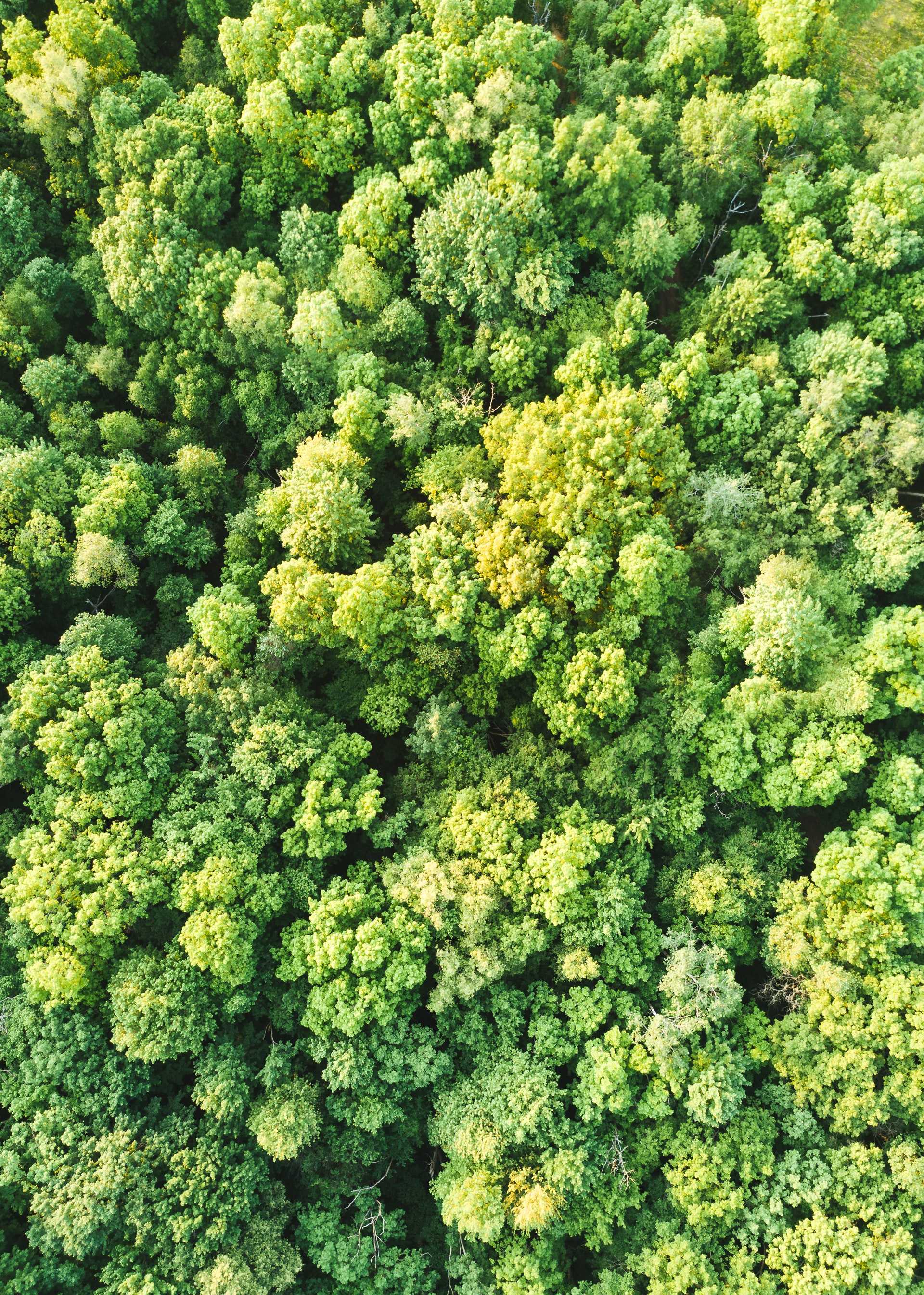
An aerial image of a forest canopy.
Scanning forests from the sky with AI
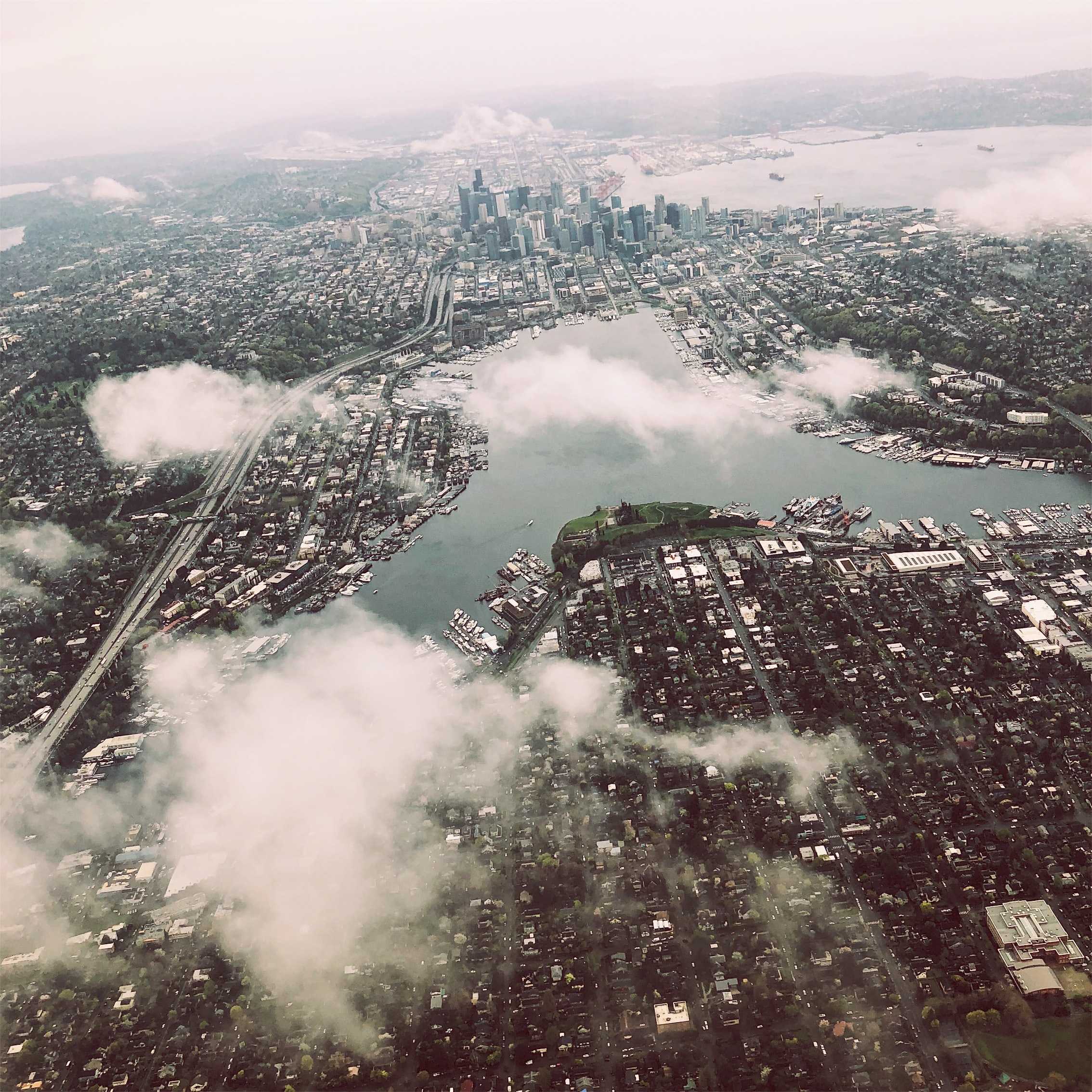
Deep learning can be used to rapidly assess terrain features using remote sensing over large territories, changing our understanding of the built and natural environment, and interactions between the two.
In the future, autonomous real-time AI systems will search metropolitan regions from above for patterns of short- and long-term change.
Source: futurity.org
Sector
Open Space + Recreation
Tags
remote sensing
deep learning
ecosystem services
sensing
computer vision


..png)
