Walk-through futures
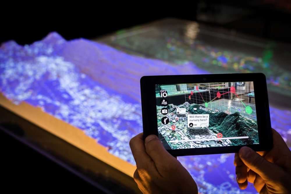
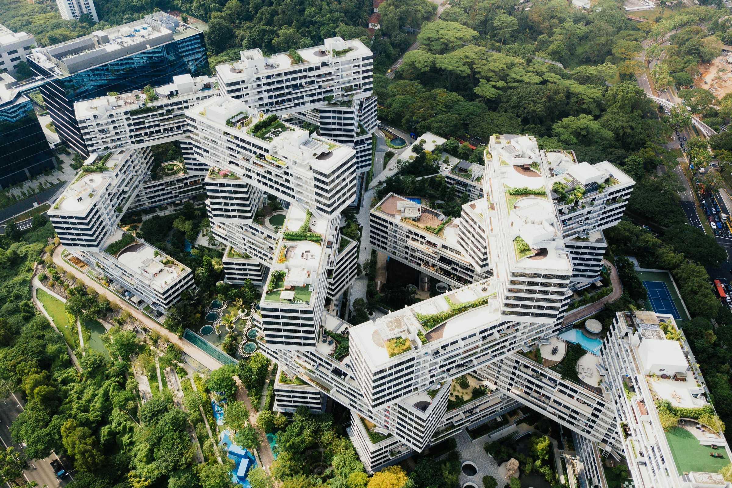
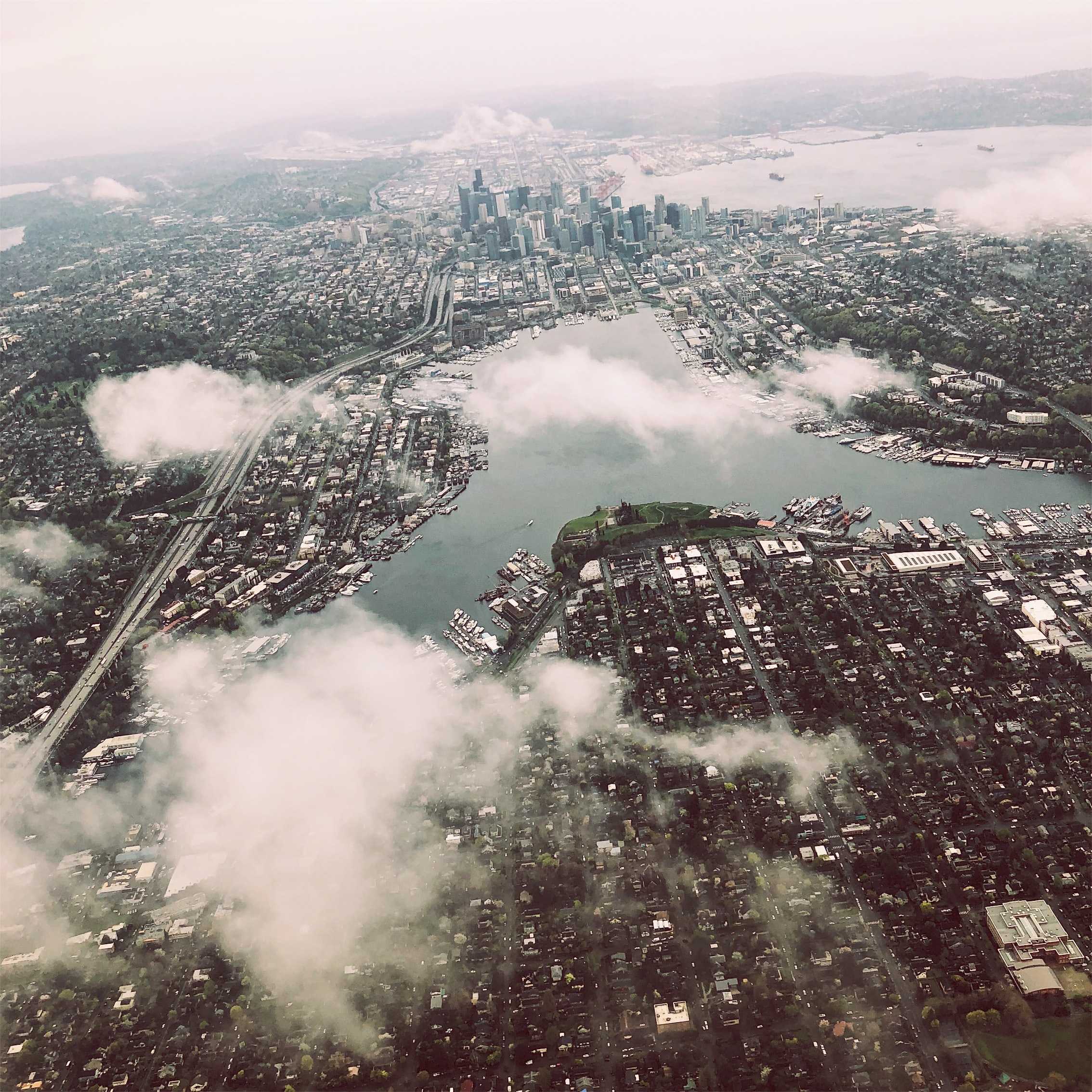
Helicopter urbanism is a pervasive trope in urban design that misrepresents the street-level impacts of future development. Cities that look impressive from the air, do not necessarily translate into pleasant experiences for individuals on the ground. That's why for more than a decade, efforts to employ augmented reality have sought to provide a simulated first-person view of proposed urban designs. The MIT Media Lab, working in the country of Andorra, developed a mobile AR app that facilitated "large-scale community engagement, involving a population of 70,000 rather than a handful of community representatives." Participants could even log on from home.
This points towards a future in which all large-scale development will employ large-scale participation in planning and design through augmented reality tools. While these will provide the potential for more first-person views, whether these renderings are accurate and informative representations of future states, and the processes they facilitate for communicating with designers translate into real changes—or simply high-tech public relations devices—remains to be seen.
..png)
