Rebalancing the risk map
From hidden inequity to visible threats.
How likely? How soon? What impact?
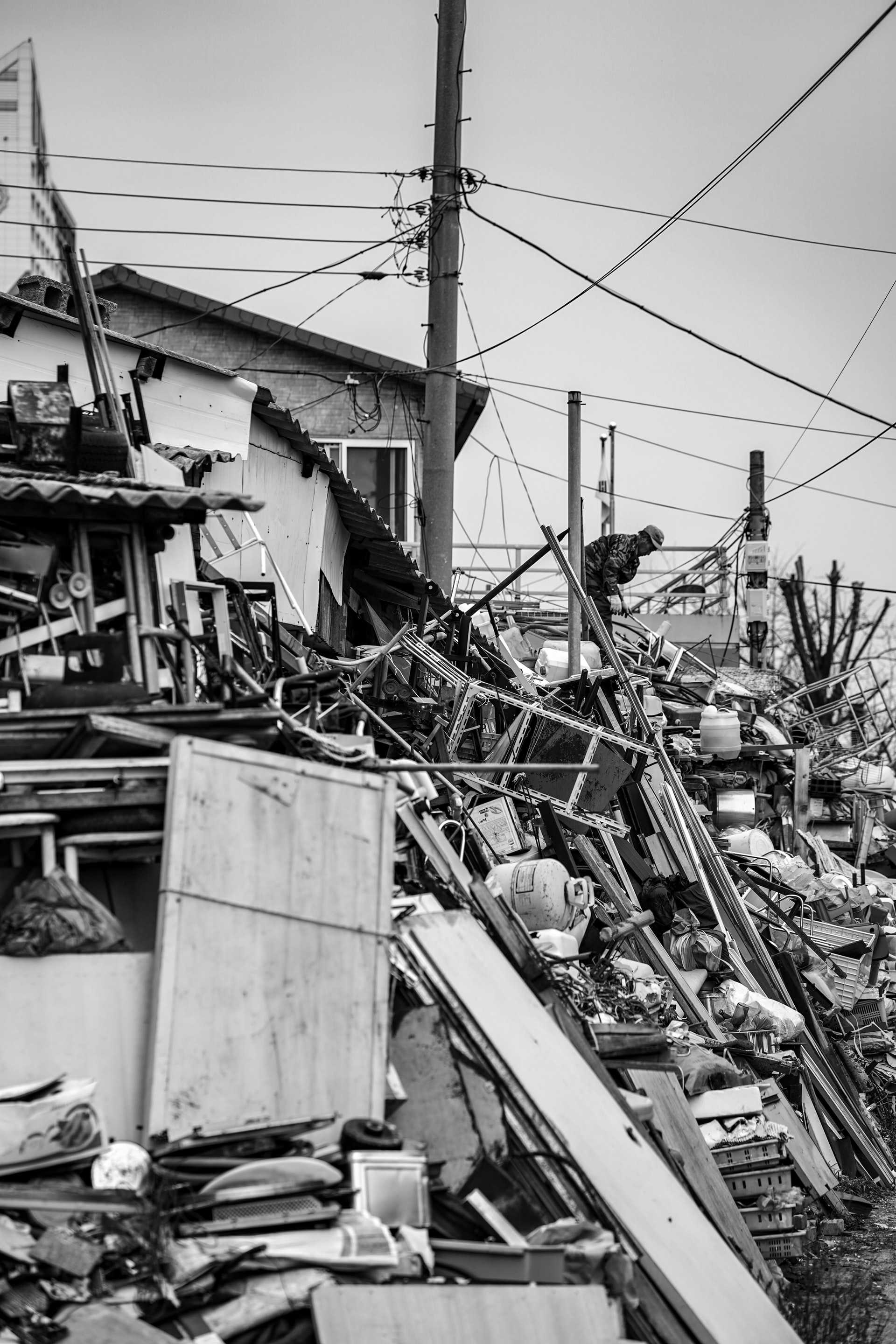
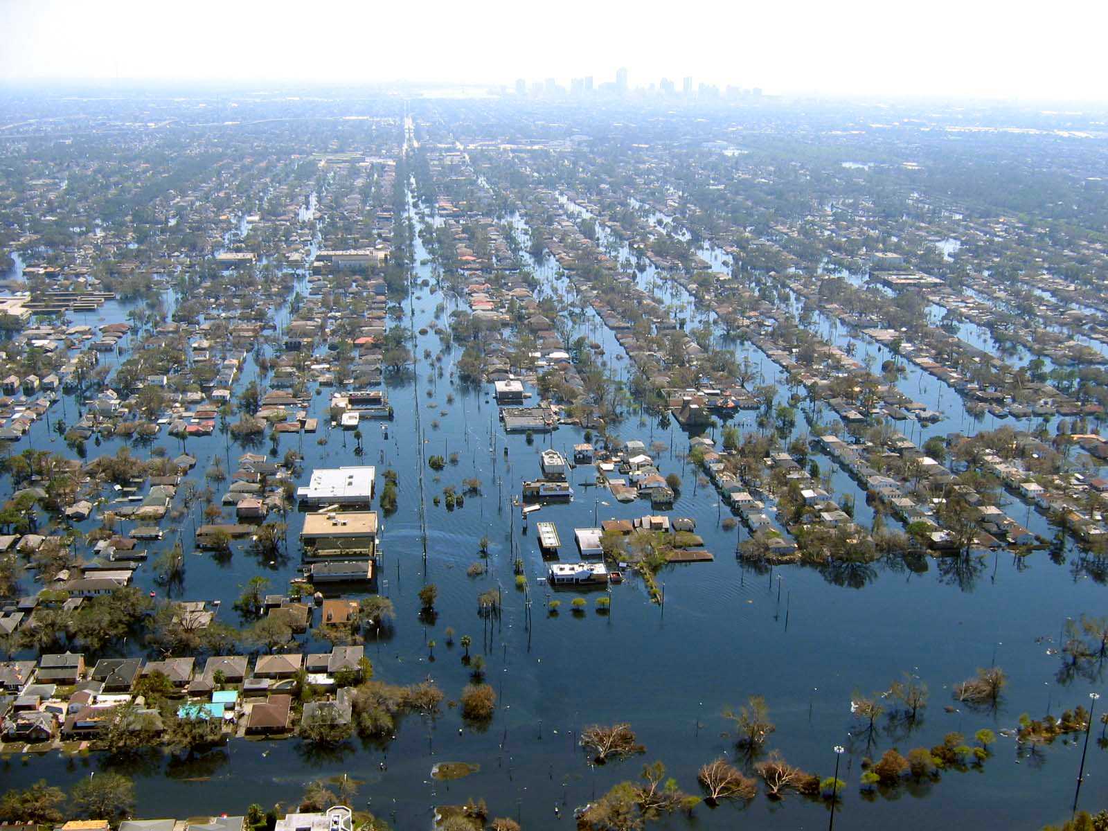
Discriminatory housing practices have long functioned to isolate racial minorities in contained areas. But they did this by pushing groups to the high-risk margins of cities. That's why many historically disadvantaged communities are located on land subject to flooding, earthquake, industrial pollution, and other hazards.
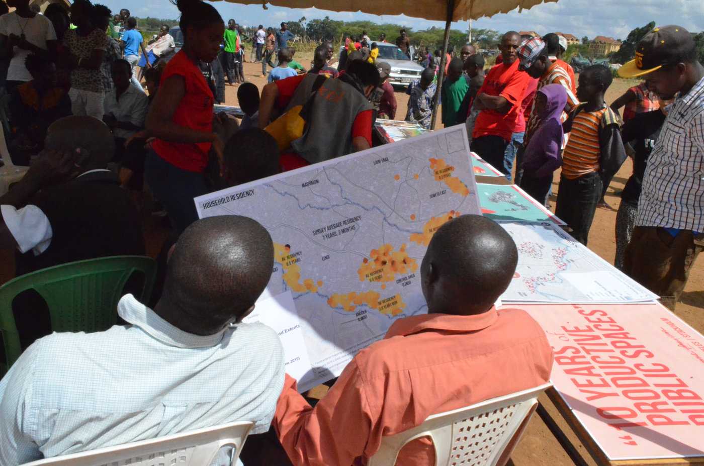
Over the next decade, climate risks for all city dwellers will grow. People in neighborhoods shaped by racial injustice will bear a disproportionate share of that burden. However, access to tools and data for mapping and modeling risks will improve. This will create new opportunities to reveal and remedy these unequal risks. Cities are already using supercomputer simulations to model the disproportionate risks marginalized groups face from natural disasters.
That's only the beginning. Systems governance and planning must be reformed to absorb and act fairly on this information. And remapping risk has its downside too. As companies tool up to reduce exposure to climate risk, will that mean abandoning vulnerable people stuck in high-risk zones?
Signals
Signals are evidence of possible futures found in the world today—technologies, products, services, and behaviors that we expect are already here but could become more widespread tomorrow.

..png)

